Walks

Marlborough walks can be as challenging as Mount Tapuae-o-Uenuku, as beautiful as the Queen Charlotte Track and as relaxing as the Taylor River reserve.
Whether you’re hiking for a day or a week, staying in a tent, hut or lodge, you’ll love the pace of Marlborough.
Start planning your walk with New Zealand Mountain Safety Councils Plan my Walk app. An awesome app that provides you with useful information of particular tracks, alerts, weather and what gear you will need. Click here to check it out.
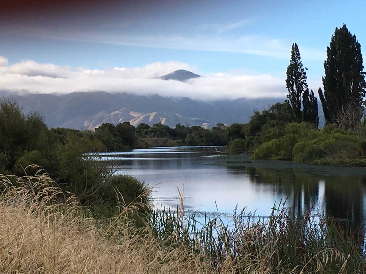
Grovetown Lagoon - Te Whanau Hou
Grovetown Lagoon is one of the few natural wetlands remaining on the Wairau Plain.
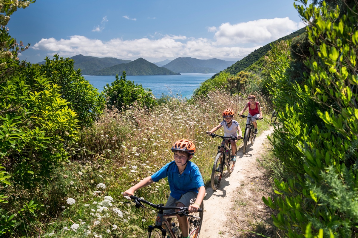
Snout Track
Expect an eyeful of views when you walk Picton’s Snout Track, which begins at the Snout Track car park, above Endeavour Park.
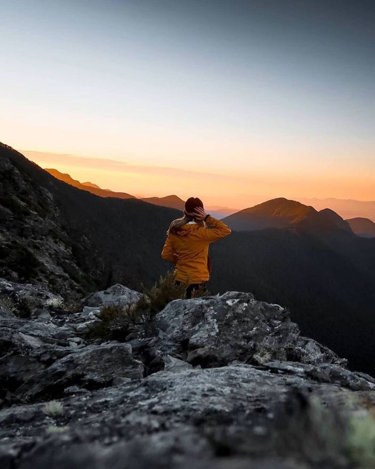
Mt Fishtail
Take a day walk or multi day walk and hike up 1643 m to the top of Mt Fishtail and expect an amazing 360 degree view.
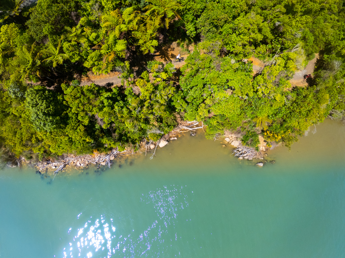
The Link Pathway
The Link Pathway is a 42-kilometre walking and mountain bike track that connects Havelock, Picton, Anakiwa and the Queen Charlotte Track in Marlborough.
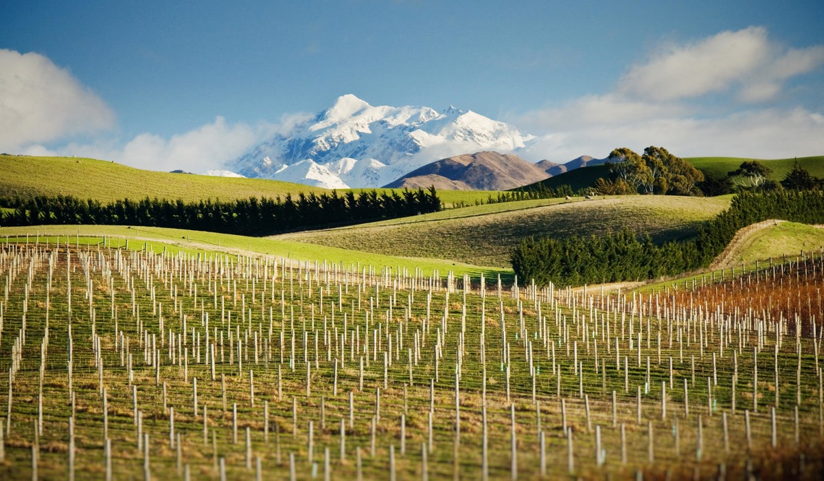
Mt Tapuae-o-Uenuku
At 2885m (9,645 feet), Mt Tapuae-o-Uenuku is the highest New Zealand peak outside the Southern Alps and is a popular three-day hike for experienced groups with good navigational skills.
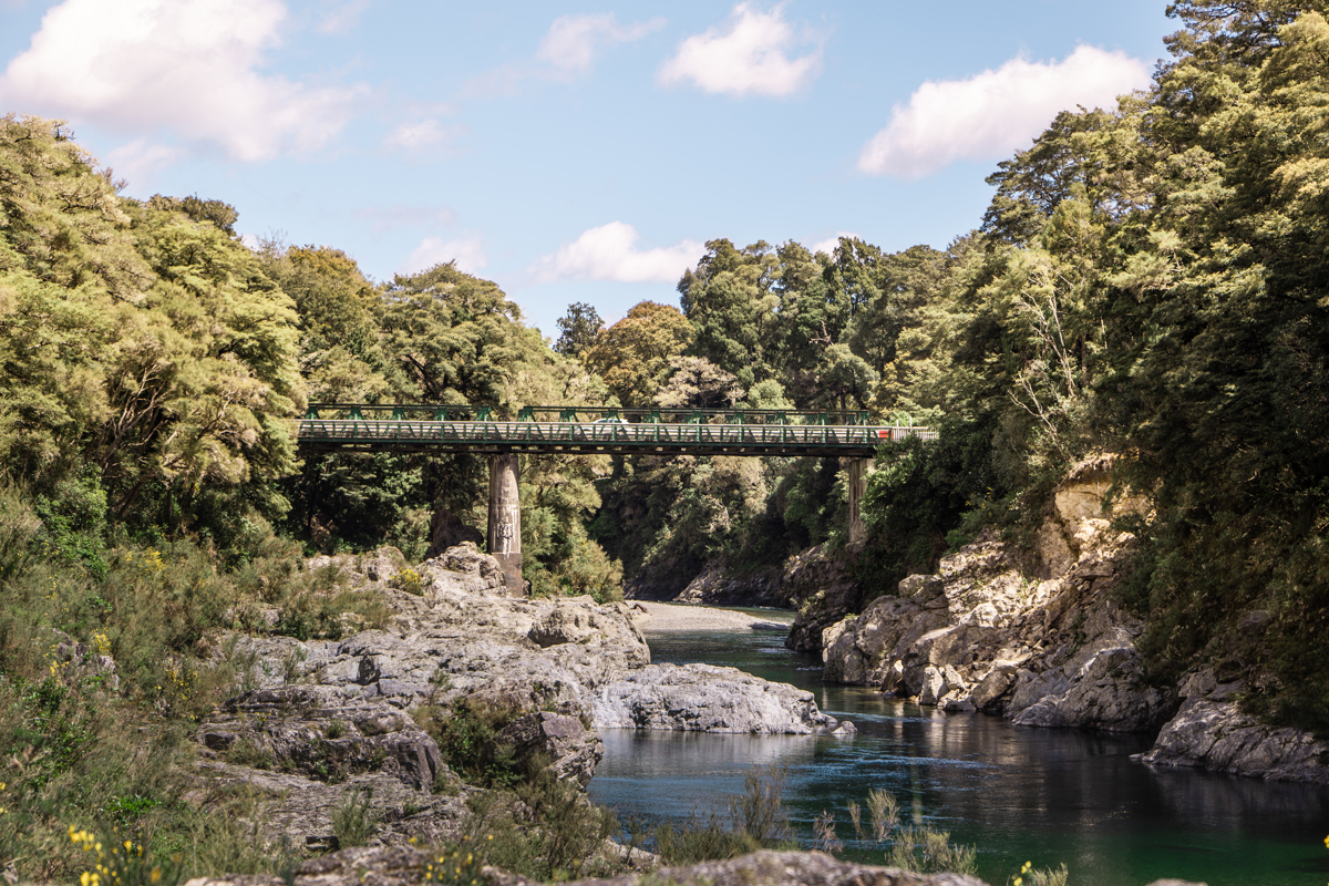
Pelorus Bridge Scenic Reserve Walks
Pelorus Bridge Scenic Reserve offers numerous tracks, taking you through ancient forest and to the edge of the beautiful Pelorus River. Many of the tracks are wide and gentle, built to a standard suitable for wheelchairs. Beyond these paths, and across the Rai swing bridge there are several other tracks.

Rarangi to Whites Bay
Rarangi to Whites Bay is a scenic walking track connecting the popular Whites Bay beach, and the small settlement of Rarangi.

Black Jack Track
Walk up from Whites Bay to a brilliant viewpoint on the edge of a bluff for views of Port Underwood, Cook Strait and Cape Campbell.
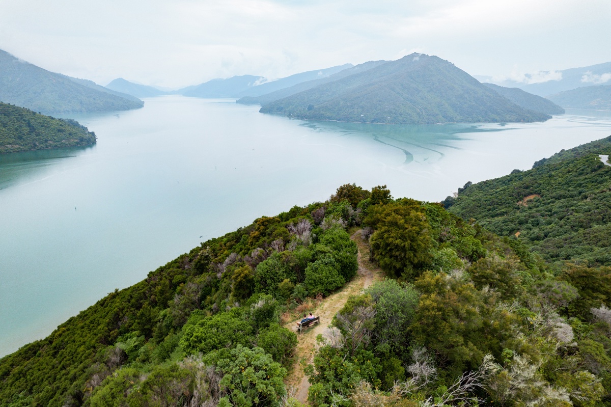
Cullen Point Lookout Track
If you're after a short loop walk with a beautiful scenic lookout, then this is certainly one to tick off the list.

Governors Bay Track
The Governers Bay Track leads you to a beautiful golden beach surrounded by lush native bush, and great for swimming.
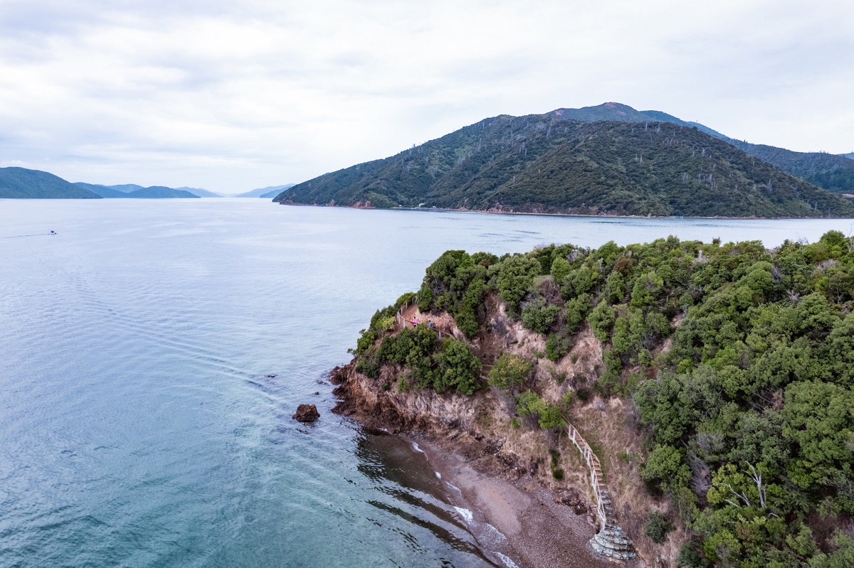
Karaka Point Walk
This ten-minute walk yields history and views, with a track that passes earthworks of a historic Māori pa site on its way to a stunning view of Queen Charlotte Sound.
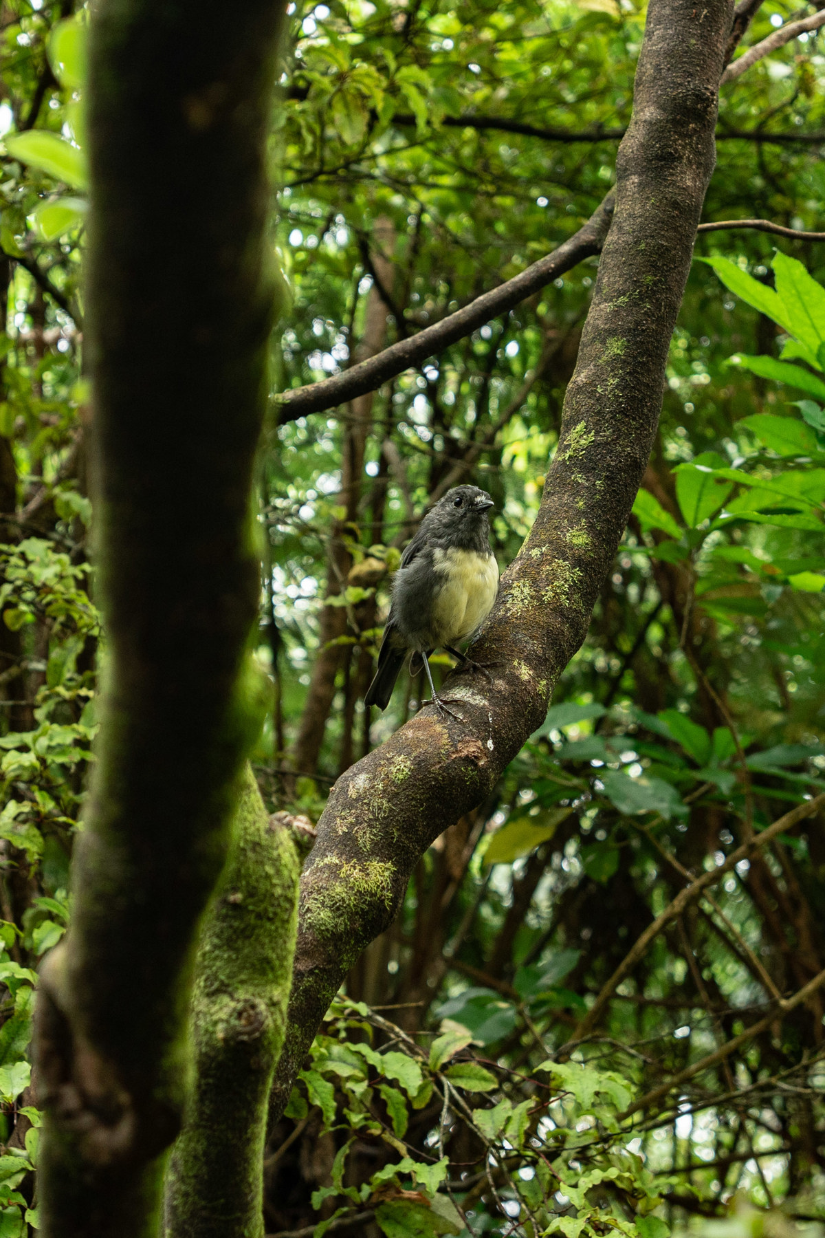
Oruawairua Walk, Blumine Island
Blumine Island is a predator-free island in the Queen Charlotte Sound, 22km (14 miles) from Picton, and the new Oruawairua Track is a brilliant way to explore it.

Mistletoe Bay tracks
Take either the circular James Vogal Track or the longer round-trip Peninsular track with stunning views of Mistletoe and Waterfall Bay.
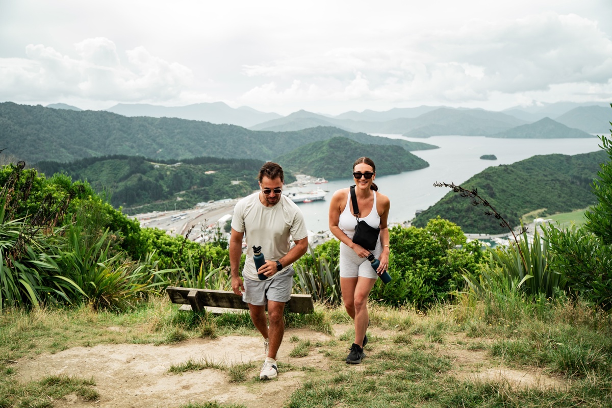
Picton walks
There are a number of walks from the Victoria Domain in Picton, from 10 minutes to several hours. From Picton, walk over the marina bridge to do the lovely Harbour View Track, Bob's Bay walk or even push on to the Snout if you feel more energetic.
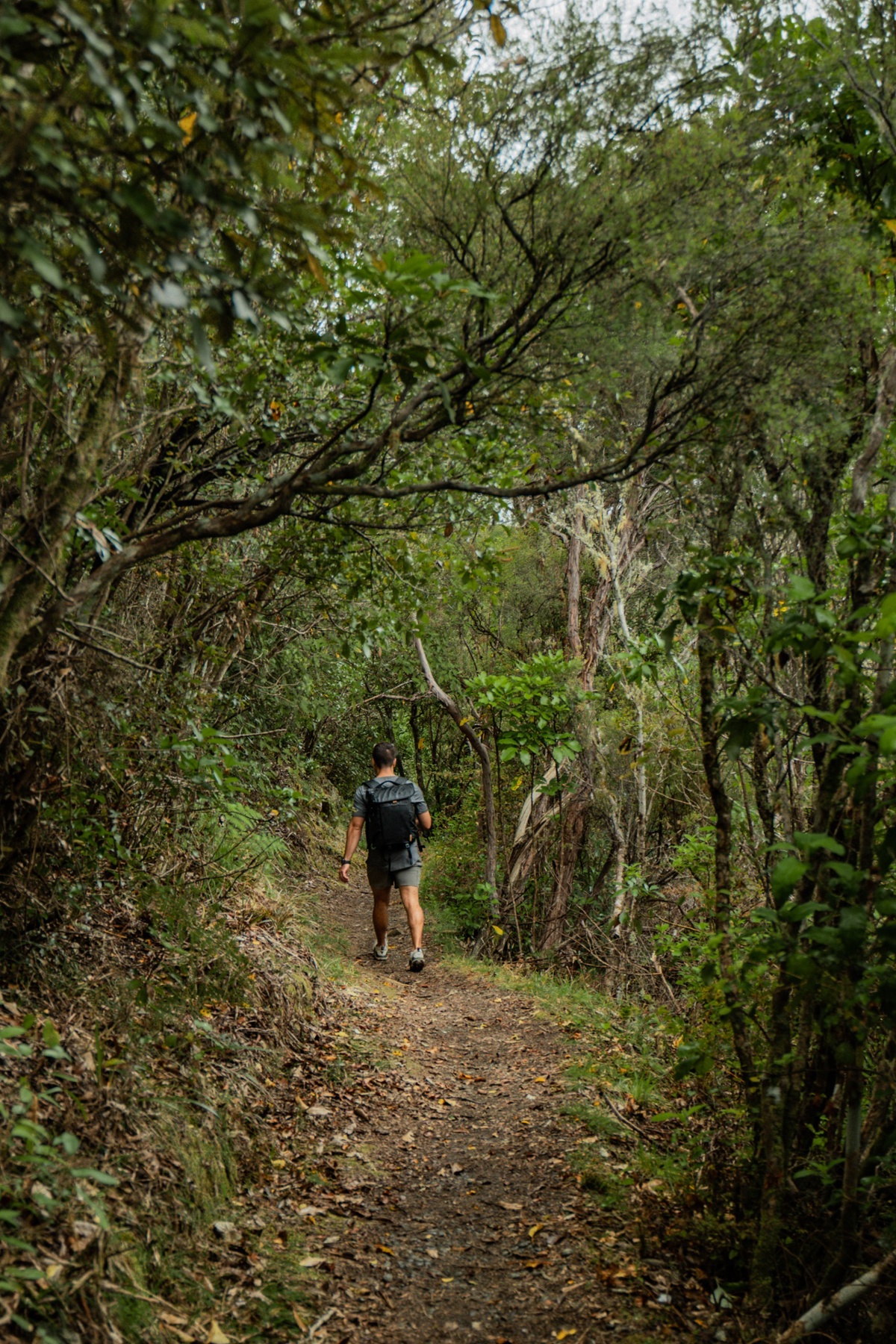
Antimony Mines Track
Follow a sidetrack off the Queen Charlotte walking Track to explore the Antimony mining era.

Wither Hills Farm Park
The Wither Hills Farm Park offers a brilliant range of walking and mountain biking tracks on a 1,100ha working sheep and cattle farm just minutes from Blenheim's CBD.
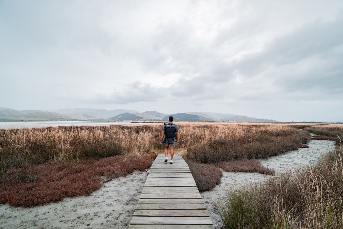
Wairau Lagoons Walkway
This flat loop track, ideal for kids, follows the lagoon shoreline with good bird watching to the rusting remains of the Waverley ship.
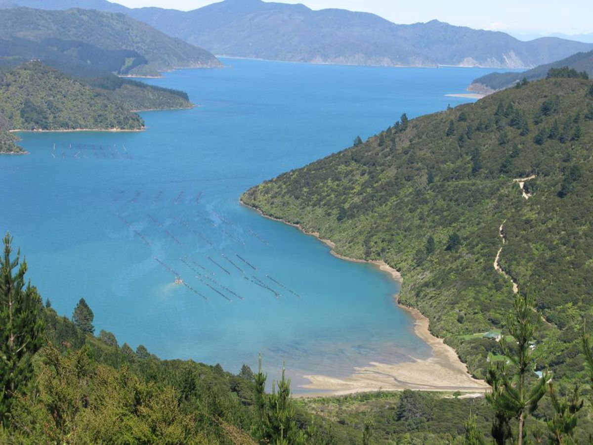
Archer Track Walk
This walking track passes through native and pine forest on the way from Penzance Bay to Elaine Bay in the Pelorus Sound.
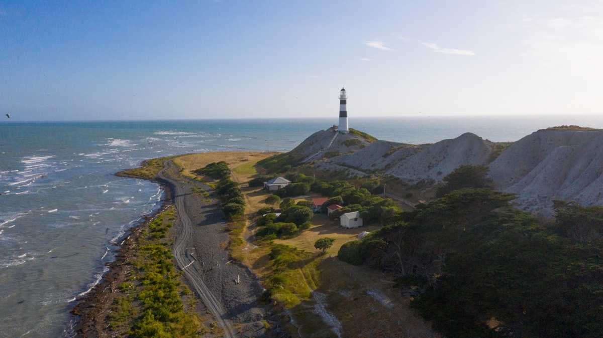
Cape Campbell
This unmarked route follows the beach from the eastern end of the camping area to Cape Campbell, the southernmost extreme of Cook Strait.

Mt Stokes Track
This tramping track in Kenepuru Sound follows a ridge to the summit (1203 m), the highest point in the Sounds.
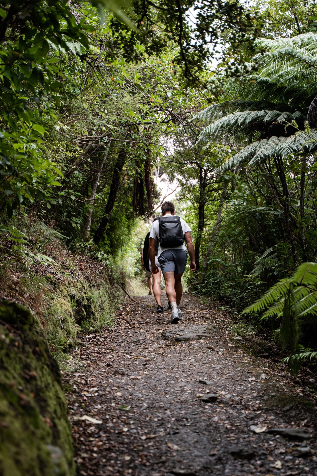
Richmond Range day walks
The Richmond Range is a fantastic place for day walks and overnight missions, with a myriad of tracks accessed off the Mt Richmond Forest Park.
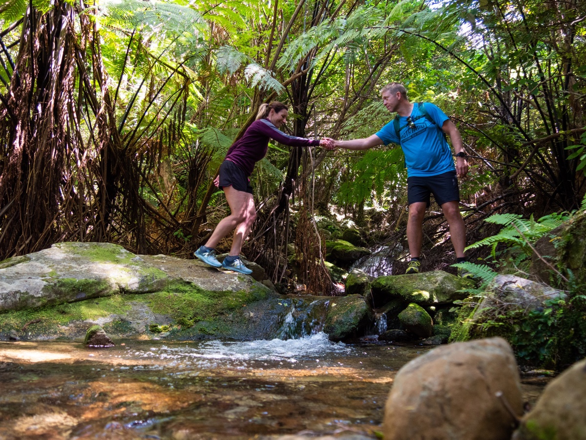
Queen Charlotte Track Day Walks
Take a bite of the 73.5km long Queen Charlotte Track on a day walk, a great option for those whose time is limited, or for people not able to walk the full track.
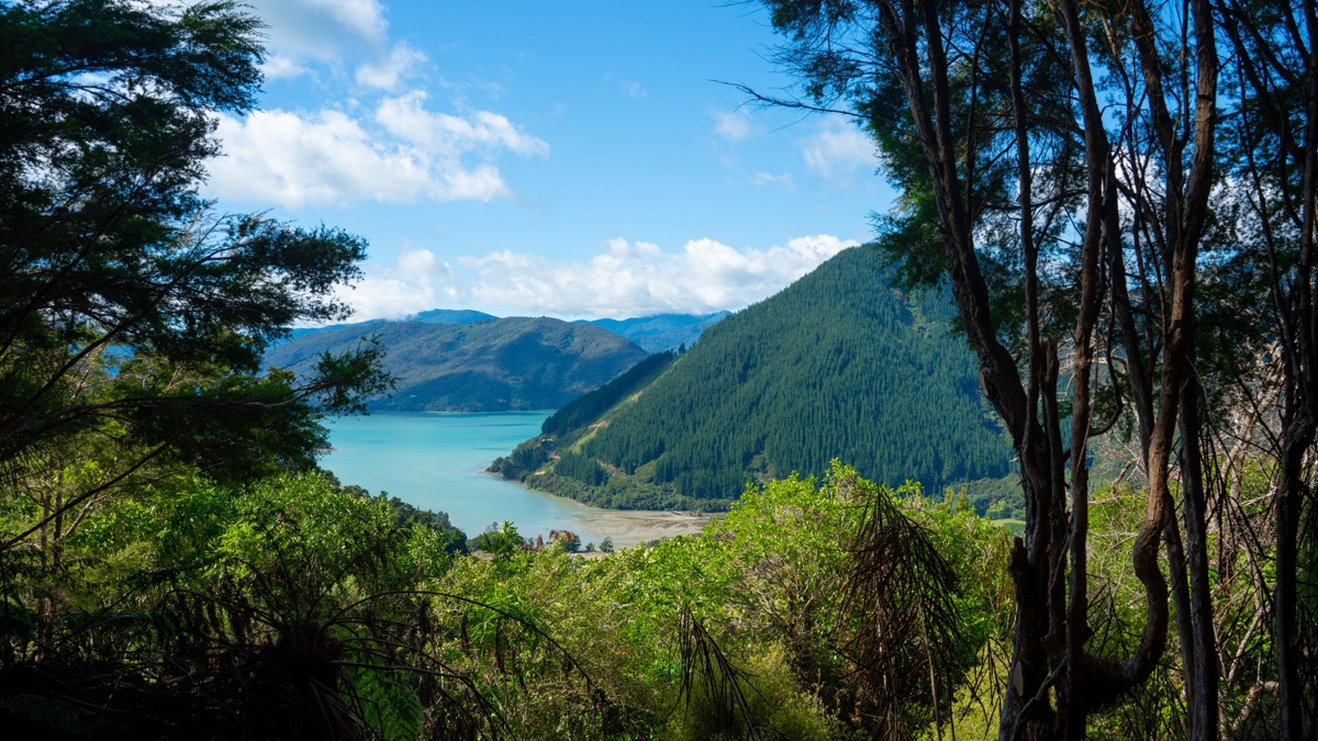
Nydia Track
Walk or bike through lush coastal and regenerating forest, climb two saddles with brilliant views, cross farmland and drop down to the edge of the sea.
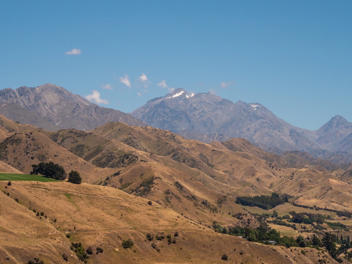
Molesworth East West Route walk
This multiday walk in Marlborough’s Molesworth area is an opportunity for fit trampers with high levels of off-track experience to explore an incredible landscape in two conservation areas.
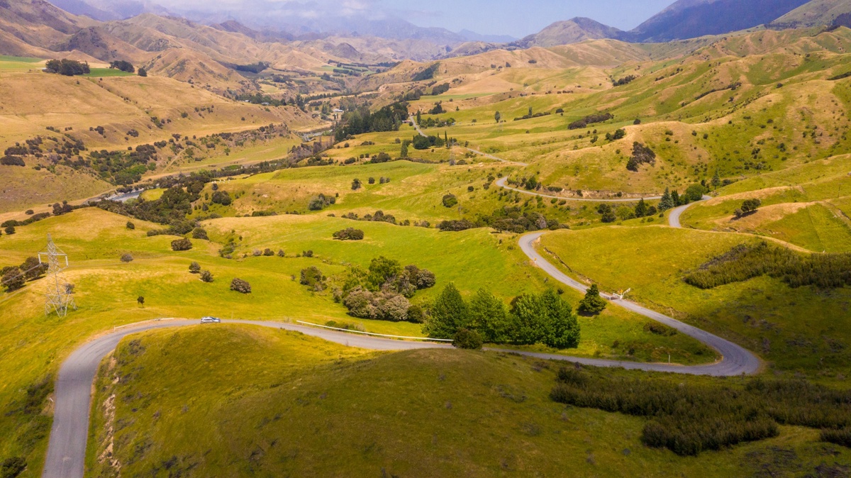
Leatham Molesworth Route
This mainly unmarked loop route travels the Leatham Conservation Area and into the magnificent Molesworth Recreation Reserve, traversing mountain tops and tussocky valleys.
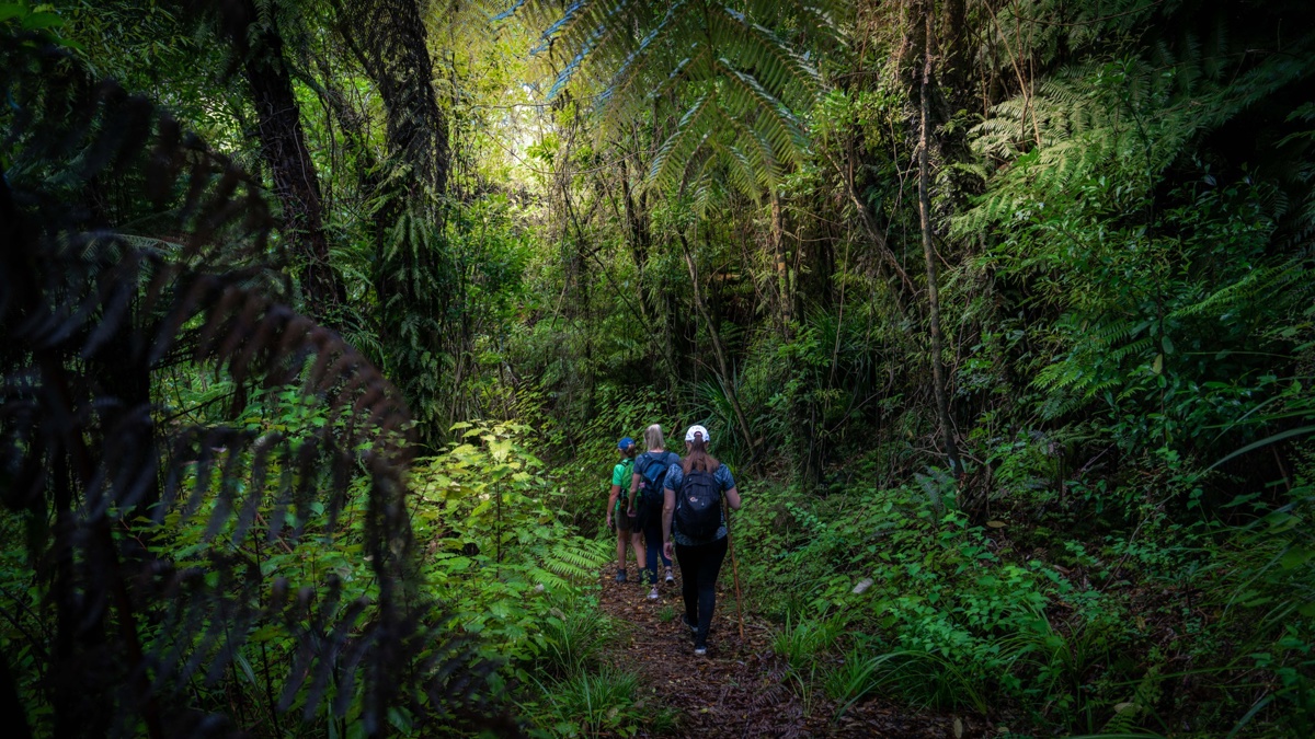
Wakamarina Track
The Wakamarina Track is a historic and scenic trail in New Zealand that retraces the footsteps of old gold miners.

French Pass Lookout Track
This track takes you to a viewpoint over historic French Pass, where the tidal surges are an incredible sight.