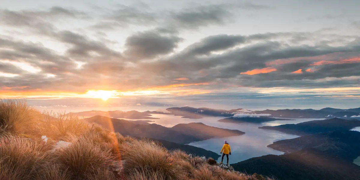
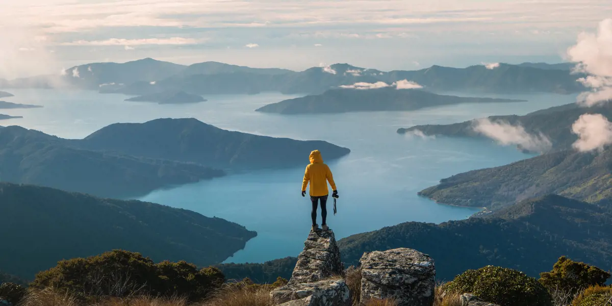
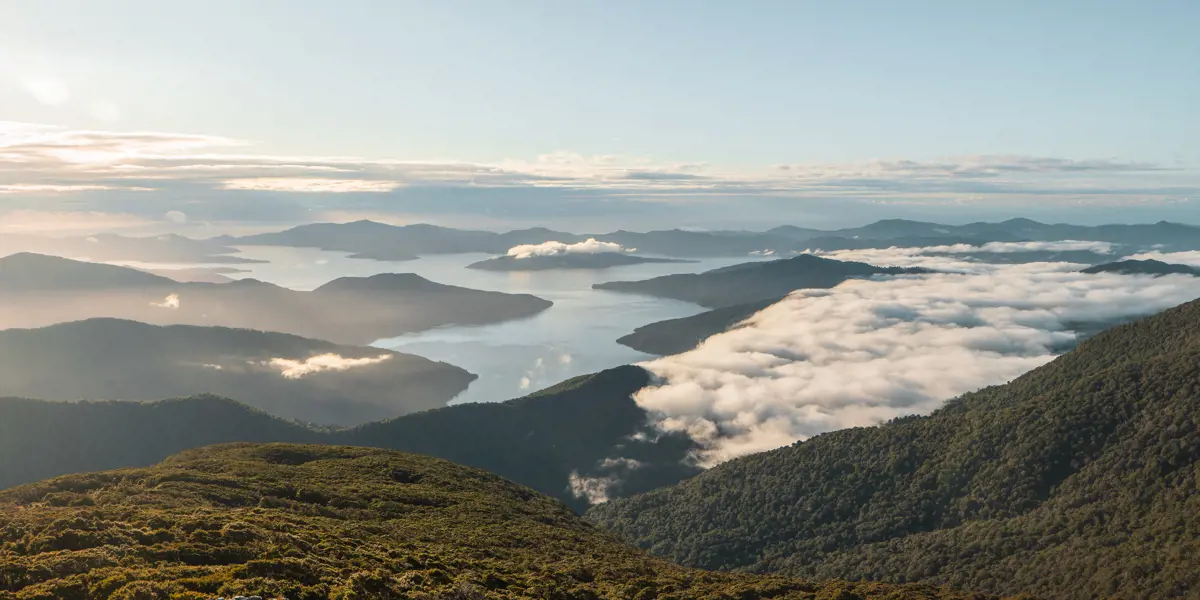
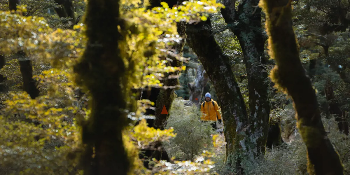
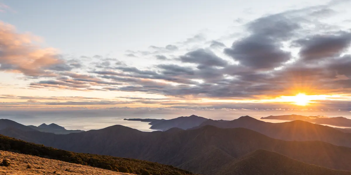
Walk to a saddle overlooking Anakoha Bay and Forsyth Island, then climb on up through mountain bush to Mt Stokes, the highest point in the Marlborough Sounds, and a unique sub-alpine habitat with spectacular views. The tramping track follows a ridge to a clearing at the 1,203m summit.
Mount Stokes is named after Captain John Stokes, who charted the entire New Zealand coastline between 1848 and 1851 in the survey ship Acheron, visiting the Sounds in 1849. The Maori name is Pororangi.
Note: Keneperuru Road - Check the Marlborough District Council and DOC websites for updates
4-5 hours return
Advanced: tramping track
NOTE: Kenepuru Road is closed to public for repairs
From Queen Charlotte Drive turn-off at Linkwater onto Kenepuru Road. The start of this track is 41 km from the turn-off at Linkwater. Kenepuru Road is narrow and winding.